Event Calendar
|
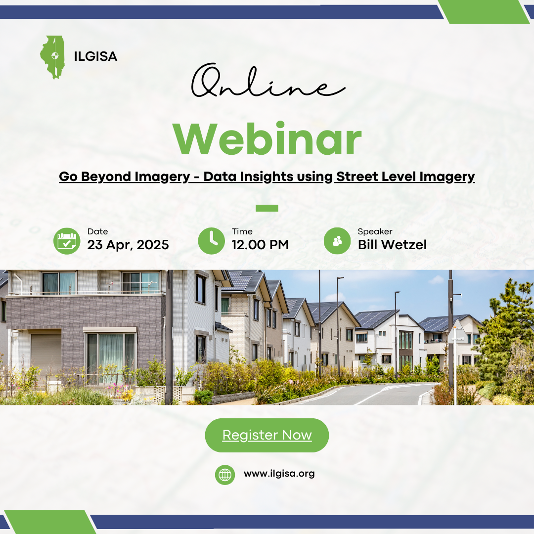
April Webinar: Go Beyond Imagery - Data Insights using Street Level Imagery
Wednesday, April 23, 2025, 12:00 PM - 1:00 PM CDT
Category: ILGISA Events
Go Beyond Imagery - Data Insights using Street Level Imagery Presented by: Bill Wetzel, Account Executive - Midwest, Cyclomedia Technology Inc With over 30 years of experience in the geospatial industry, Bill has worked directly with local government jurisdictions to build and maintain enterprise GIS programs. Bill is passionate about supporting local government agencies in obtaining better data to make better decisions for their communities. Currently, Bill is showcasing the benefits of street level imagery and related data products, as a jurisdiction wide resource that supports multiple workflows and daily operations. Abstract: Many local governments and utilities rely on technology initiatives that optimize management of properties, assets, and infrastructure. High resolution street level imagery, mobile LiDAR, software tools can enable jurisdictions to move towards more efficient 3D asset data collection and data-driven operations. In this session, we will provide an overview of street level imagery resources, showcase web-based applications, integration with GIS and other administrative platforms. This session will also showcase several case studies demonstrating how local government agencies are leveraging street level imagery and LiDAR resources to support their public works workflows, develop digital twin representations, conserve staff resources and extend use into other enterprise operations.
 Date: Wednesday, April 23th, 2025
Time: 12:00pm Register
|


 Prev Month
 View Month
 Search
 Go to Month
 Next Month
 Export Event

